Clocaenog Forest Resource Plan
Location and setting
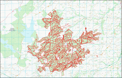
Clocaenog Forest Resource Plan (FRP) includes the Clocaenog forest block which has a total area of 4,126 ha and is predominantly coniferous. Clocaenog forest lies within the Mynydd Hiraethog/Denbigh Moors (SSSI), nestled between the B4501 and B5105 Cerrigydrudion to Ruthin road. Llyn Brenig, a reservoir and visitor attraction owned by Welsh Water, lies immediately to the west of the boundary of Clocaenog forest.
The surrounding habitat of the Clocaenog FRP blocks consists of enclosed grazed farmland and open moorland, commercial conifer forest blocks, which dominate the higher elevations and mixed conifer/broadleaved woodlands on the lower slopes and riversides. There is now a large scale wind farm contained within the Clocaenog forest. Clocaenog forest is dedicated for open access on foot under the CRoW Act and also allows access for horse and cycles on a permissive basis. There are a network of Public Rights of Ways and the Cyffylliog to Llanfihangel Glyn Myfyr section of the Hiraethog long distance trail runs through the forest.
Clocaenog Forest falls into the river catchments of Clywedog - Corris to Rhyd Galed, Brenig - reservoir and east catchment, the Alwen - Ceirw to Brenig and Clwyd Clywedog upper (Corris). Clwyd - upstream Hesbin. All of these catchments except Clwyd - upstream Hesbin which is has been rated as ‘Good’; are classified are ‘Moderate’ under the Water FrameWork Directive assessment.
Summary of objectives
The following management objectives have been agreed in order to maintain and enhance the resilience of ecosystems, and the benefits they provide:
- Removal of larch and diversify the forest species composition to increase resilience to pests and diseases whilst building a robust forest for future generations.
- Increase structural diversity and Red Squirrel conservation through natural reserves, long term retention and Continuous Cover Forestry.
- Continue to maintain a sustainable supply of timber production through the design of felling and restock species choice.
- Increased successional /riparian woodland areas for the improvement of habitat resilience and landscape scale habitat linkages.
- Identify and protect important heritage features, including the historic natural environment.
- Continue to identify and restore ancient woodland site features and areas of conservation interest.
- Maintain and improve visitors experience by providing a safe and enjoyable diverse environment.
Maps
Map 1: Long Term Vision
Map 2: Forest Management & Felling Strategy
Map 3: Forest Types & Restocking
Comments or feedback
If you have any comments or feedback, you can contact the Forest Resource Planning team at frp@naturalresourceswales.gov.uk.